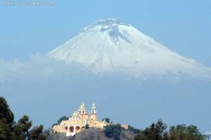
Volcan Pico de Orizaba is on the border of Puebla and Veracruz states in south-central Mexico. It is the third highest mountain in North America, behind Denali in Alaska and Mount Logan in Utah. According to NASA’s Earth Observatory, it is the highest volcano in North America. The mountain has an interesting historic and geographic background. Hikers who awaken by 2 a.m. can catch the long shadow the mountain casts on the plains below at sunrise.
History
The steep sentinel stands 18,406 feet above sea level and the Pico de Orizaba’s snowcapped summit was first ascended by U.S. soldiers G. Maynard and William Raynolds in 1848. However, locals almost certainly climbed it before then. Part of the Trans-Mexican Volcanic Belt extending east-west across Mexico, the volcano last erupted in 1846.
Geography
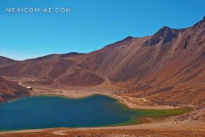
Orizaba is the second-highest dormant volcano worldwide, only Kilimanjaro in Africa stands higher. The volcano was created in three stages a million years ago during the Pleistocene Epoch. Volcan Pico de Orizaba is considered an alpine environment and has nine glaciers — Gran Glaciar Norte, Jamapa, Toro, Lengua del Chichimeco, Glaciar de la Barba, Occidental, Suroccidental, Noroccidental, and Oriental. These glaciers cluster around the volcano’s north side, which receives less sun than the rest of the mountain.
Until recently, these glaciers measured 160 deep and 3.5 miles wide. Climbers have reported that the glaciers are retreating, potentially due to global warming.
Tourism
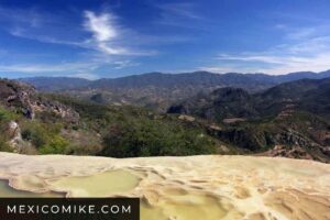
Waking up at 2 or 3 a.m. nets industrious climbers a fantastic view. At sunrise, the mountain casts a shadow on the flat plains surrounding the peak that climbers note as a highlight of their trek.
Many tourists, mostly hikers and climbers, fly into the capital, Mexico City, but Veracruz or Puebla are other good places to start. Puebla airport runs efficiently and local taxis are reasonable. You can stay in the city’s central zocalo area to find lodging and dining options, then catch the bus to Tlachichuca. Tlachichuca serves as the starting point for many groups.
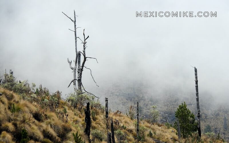
Experienced travelers and expert climbed say that the best time to attempt the ascent of Pico de Orizaba ranges from November to March. Since this is the country’s dry season, it’s less likely to snow during these months. However, the earlier in the day you start, the better your chances are of reaching the peak.