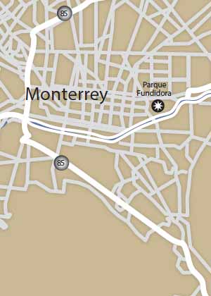
Clicking the button above, and you’ll receive in email the actual downloadable high resolution map and road log to get through the border to Monterrey and onto Saltillo or other parts. The map of Monterrey and the corresponding directions show which routes will be easiest coming from points north. There are plenty of interesting attractions only a few miles from the Texas/Mexico border.
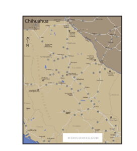
This highway driving map from one of my roadlogs highlights the direct routes and attractions along Mexican highways MEX-85, MEX-57D, MEX-40D from the Texas border at Del Rio / Cd. Acuña, Eagle Pass / Piedras Negras, Laredo / Nuevo Laredo, McAllen / Reynosa to Nuevo Leon, Tamaulipas, Coahuila, Mexico. This road map provides realistic drive times, RV parks, biospheres, UFO landing sites, birding, fishing, mountains and points of interest. The map includes Reynosa, Monterrey, Saltillo, Nuevo Laredo, Monterrey, Linares. Both toll road and free (libre) routes are shown.
One very interesting town only 50 miles off the main highway MEX-57 from Piedras Negras or Cd. Acuña is Cuatrocienegas, Coahuila. This is a unique biosphere with plant and animal life like no other place on earth. Cuatrocienegas is literally an oasis in the middle of a desert. The town is small and very friendly. The hotels are inexpensive and nice. Cuatrocienegas is perfectly safe.
There is no reason not to visit and explore the dunes, the crystal-clear lakes and keep an eye out for tortoises. This is a United Nations protected biosphere, though that didn’t stop the gypsum miners from taking more of the dunes. But there is still a lot to see.