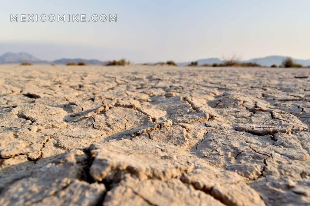
What Is the Laguna Salada? It means “salty lagoon” in Spanish. However, this isn’t exactly a typical lagoon. In fact, Laguna Salada isn’t a lagoon at all. Instead, it is a dry lake that can be found in the Colorado River Delta, which is where the Colorado River flows into the Gulf of California. It is in the state of Baja California in the city of Mexicali.
For one, its Measurements Are Impressive. It measures 37 miles at its maximum length as well as 11 miles at its maximum width. On top of this, it can claim the honor of Mexico’s lowest point at 33 feet below sea level. Second, as a dry lake, it sometimes fills with water. There are periods when massive rains will cause it to fill up, thus restoring it to a semblance of its previous self. However, its recharge can’t match the rate at which its water evaporates, meaning that these periods are temporary.
History
While Laguna Salada was always relatively shallow, it was still enough to serve as home to a number of species that weren’t native to the local region. Most of my previous life came from California. Some examples of these species included chiros, catfish, mullet, tilapia, and even squid. Although, the squid had no way to complete their life cycle because there was no connection to the sea even in those times. Now the area is dominated by tamarisk and cattail.
Human Life on the Delta
Baja California is home to five native tribes. One example is the Cucapá, which continues to populate the region. Traditionally, the Cucapá were reliant on the Colorado River Delta for their living. The drought and drying of the “lagoon” is being a cause of their ongoing disintegration.
Tourism at the Laguna Salada
There is still some tourism to Laguna Salada. Without the water, Laguna is open desert land. It makes a great place for off-road racing and pre-running. You can open up your throttle and drive as fast as you want with wide-open visibility and no law enforcement insight. It has also been used for movie production and tectonic study! The Laguna Salada is also a major earthquake faultline, “Laguna Salada Fault”. It is the location of the big 2010 Earthquake. Seismologists often come to study the faultline.